Clinton County has endured one of its driest stretches on record, leaving groundwater and deep soil moisture “almost an entire year’s worth” behind normal even as recent rains have greened fields on the surface, a state climatologist told local listeners Wednesday.

Deep moisture deficit despite recent rains
Austin Pearson, climatologist with Purdue University and the Indiana State Climate Office, said the Frankfort area just wrapped up the fourth‑driest period from August 1 to the present since records began in 1914. “When you look at January 1 of 2020, we’ve got precipitation departures that are 32½ inches below normal,” Pearson said. “That’s almost an entire year’s worth of precipitation.”
Pearson noted that many area farmers still harvested strong crops last year and saved on fuel because dry weather allowed grain to go “right into the bin” with little artificial drying. But he cautioned that the long‑term deficit shows up below the plow layer. “We may be looking fine up top, but when you look deeper down in the soil profile, you start seeing those deficits,” he said.
Local drought picture: good crops, stressed wells
Pearson said current drought conditions across Indiana are “mostly groundwater and subsoil moisture based,” with Clinton and neighboring counties among a north‑to‑south band of persistent precipitation deficits stretching toward Lake Michigan. While recent storms have recharged topsoil and improved short‑term conditions, he said deeper moisture remains limited.
“I think agriculturally we’ll be okay,” Pearson said, pointing to resilient local soils, heavier clay subsoils that hold water, and conservation practices such as no‑till that help conserve moisture. “But you start digging for fence posts, putting tile in or anything like that, you look deep and there’s not a lot of moisture.” He added that shallow residential wells could face more risk if deeper reserves do not recover.
Warmer, wetter spring outlook, but no quick fix
Looking ahead, Pearson said federal outlooks from the Climate Prediction Center show elevated odds of above‑normal temperatures and above‑normal precipitation for north central Indiana through late March and for the March–April–May spring season. For the March 23–27 period, he said, the area has “greater than 30 percent chance of above normal temperatures” along with a similar chance of above‑normal precipitation.
“The good, promising thing that I see here is that there’s a greater than 30% chance of above normal precipitation for that March, April, May timeframe,” Pearson said. “So [we’ll] continue pulling ourselves out of drought. I don’t know that it’s going to be a washout of a spring.” He also warned of the risk of a late frost, noting that a warm spell followed by a typical “Mother’s Day” freeze could force soybean replants in northern counties.
Changing patterns and “popcorn” storms
Responding to questions about whether recent storm behavior is tied to climate change, Pearson emphasized long‑term variability while acknowledging that farmers are seeing shifts in timing and distribution. “We do anticipate the seasonality changes—your spring’s getting wetter, summer’s getting drier, fall’s getting drier—and those types of things that we’ve, quite frankly, seen,” he said.

He described more frequent “popcorn‑type” thunderstorms that can drench one field and miss the next. “It’s raining in my front yard but not my back,” he said, adding that even side‑by‑side rain gauges rarely record identical totals. Pearson said more weather stations and volunteer rain observers mean those differences are now documented in much finer detail than in the past.
Tools for farmers: dashboards and the Purdue Mesonet
Pearson highlighted new digital tools built with farmers in mind, including an Ag Climate Dashboard hosted by the Midwest Regional Climate Center and Purdue’s Indiana State Climate Office. The dashboard pulls together recent temperature, precipitation, drought maps, soil temperatures, and National Weather Service forecasts, along with longer‑term outlooks from the Climate Prediction Center.
“A lot of what I do is I take weather data and put them into resources and tools for people to be able to make decisions,” Pearson said. Producers can also tap the Purdue Mesonet Data Hub, a growing network of research‑grade weather stations that measure air temperature at multiple heights, wind, solar radiation, and soil temperature and moisture at 2, 4, 8 and 20 inches. Pearson said the goal is to eventually place at least one Mesonet station in every Indiana county to support agriculture, water planning, and public safety.
———————-
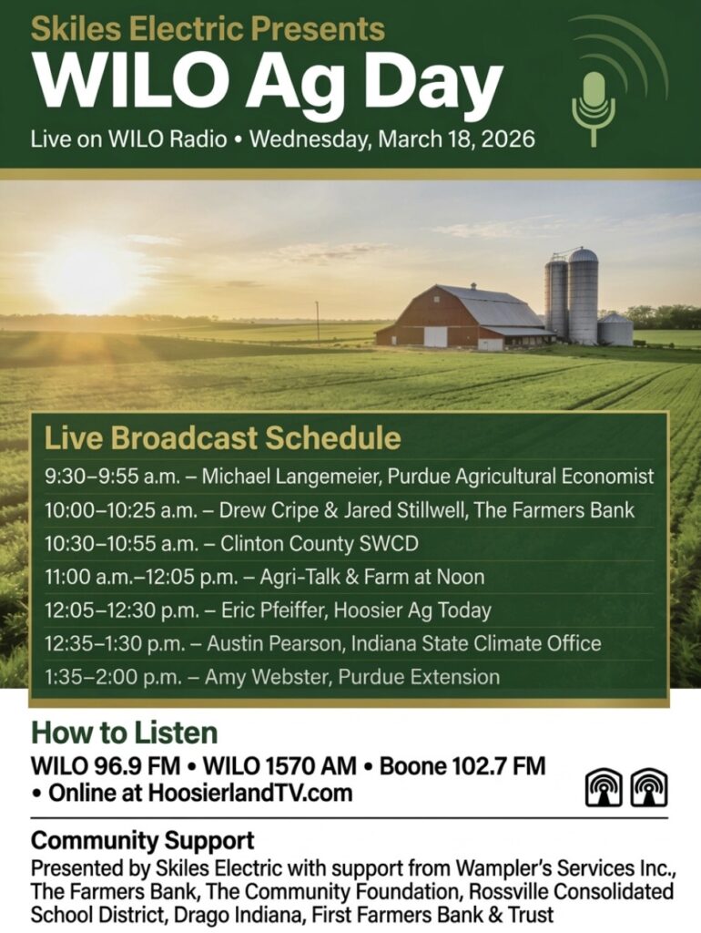
WILO and Hoosierland TV Hosts Melissa Miller and Adam Shanks interviewed leaders in Indiana Agriculture from 9:30 AM to 2 PM March 18, 2026.
Skiles Electric presented Ag Day 2026 with support from Wampler’s Services Inc., The Farmers Bank, The Community Foundation, Rossville Consolidated School, and First Farmers Bank and Trust.
Broadcast on Hoosierland TV was produced by Michael Hall. Broadcast on WILO 96.9, Boone 102.7 FM and WILO 1570 was produced by Dacen Brittain.