
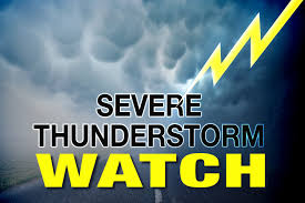
The National Weather Service issued a Severe Thunderstorm Warning for Clinton County for destructive baseball-sized hail.
The alert stated that animals and people outside as the hail falls may be severely injured.
Community members in the path of Eastern Clinton County through South Eastern Howard County are encouraged to seek shelter in a sturdy building away for windows.
Numerous thunderstorms will occur across central Indiana through tonight. The best chance for severe potential will be between 5 p.m. and 1 a.m. Damaging winds, large hail, tornadoes, and flooding are all possible.
While storm motion may vary at times through tonight, overall motion to the east around 45 to 55 miles-per-hour is expected.